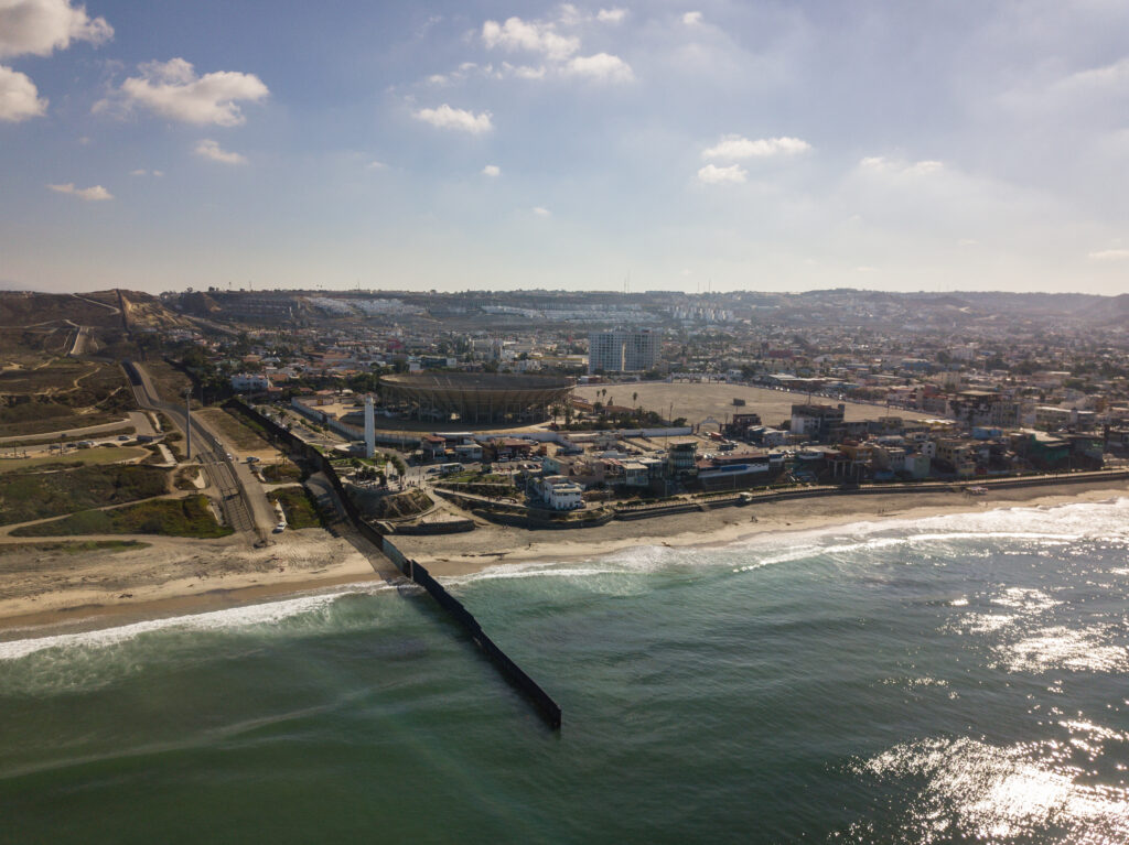
Welcome to the Data Dashboard, your central hub for exploring the latest water quality data across the U.S. and Mexico. Our interactive tools and research-driven insights help communities, policymakers, and scientists make informed decisions about water health and sustainability.
For the best user experience please use the desktop version as the map below is not functional on mobile.
The data might take a few moments to load. Thank you for your patience!
View our set of maps that feature important geographical and land use information of the study area:
The study covers 102.4 km², with 59.3 km² in Mexico and 43 km² in the United States.

United States: Includes the coastal cities of Coronado and Imperial Beach, connected by the Silver Strand sandy bar.
Mexico: Covers 24 km of coastline in Tijuana and Playas de Rosarito.
Population: 137,770 people (85,746 in Mexico, 52,024 in the U.S.).
Climate: Arid and temperate, with annual temperatures ranging from 12-18°C and precipitation between 206-262 mm.
Geomorphology: Mixed composition of sedimentary, volcanic, igneous rocks, and loose sands.
Hydrology: Influenced by San Diego Bay watershed, Otay Hydrological Unit, and Northwest Baja California region.
Vegetation: Sparse, with urban, agricultural, and coastal vegetation types.
Land Use: Increasing urbanization, industrial, and tourism-related activities, affecting coastal resources.